Before the Painted Cycle Lane: How Street Space Was Divided
Before the painted cycle lane, kerbs, paving and street furniture assigned space to different users. Learn to read those choices on familiar streets.
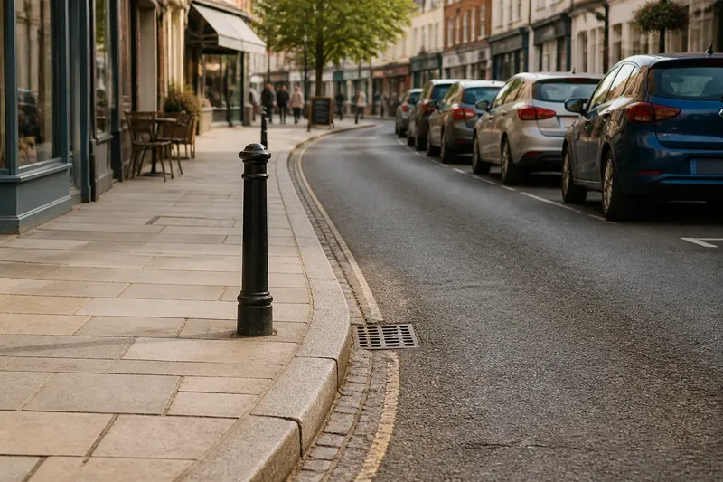
At a town-centre junction, a broad strip of paving runs beside the shopfronts while the carriageway narrows around parked cars. A kerb separates the two, and a bollard stands where the paving meets the road. Before the painted cycle lane, street space was already divided by surfaces, edges, obstacles and everyday habits.
To understand what a street layout says about its priorities, start with what you can see under your feet. Then look at who is expected to use each part, how the boundary is marked and what happens where those parts meet. This is not a hunt for one hidden original design. It is a way to read the choices built into an everyday street.
Start with the street’s visible layers
Choose a short stretch you know, such as the road beside a local library or the high street near a bus stop. Walk it at an ordinary pace and note where the surface changes. Look for a kerb, paving laid in a different pattern, a strip of setts, a channel beside the gutter or a line of street furniture.
These clues can divide space without naming its intended users. A raised footway usually signals a space for people on foot. The carriageway carries motor traffic, while the gutter may collect rainwater or provide a margin beside the kerb. Yet a cycle may be expected to use the carriageway, share a path or pass through a space whose purpose is not obvious.
Write down what the layout appears to invite, then separate that impression from any formal designation. A broad paved area might be a pavement, a shared path or a pedestrianised street. Signs, markings and local rules clarify what the visible design alone cannot. If the distinction matters for riding, check the signs and local rules rather than treating appearance as permission.
Read the boundary, not just the surface
A boundary tells people where one kind of movement gives way to another. A kerb makes a strong physical edge. A change in paving can suggest a boundary while remaining level enough for people to cross it. White paint offers a visible line, but it does not make a physical barrier. Posts, planters and parked vehicles can make an edge feel firm even when no official line has been drawn.
Ask what the boundary allows. Can a person cross it easily? Does it guide movement towards a crossing, or leave people to work out where to go? Does it protect someone from moving traffic, or merely mark a strip beside it? These questions shift attention from a line’s appearance to the choices it gives people.
A street edge is like the rim of a plate. A raised rim keeps some things apart; a painted stripe only suggests where they should stay. Neither tells the whole story, but the difference helps explain why markings and physical separation communicate different levels of priority.
Notice who gets the broadest, clearest space
Compare the room given to each user, but do not judge by width alone. A wide footway may be crowded with signs, café furniture and utility cabinets. A narrow carriageway may still dominate the scene because it is continuous, smooth and direct. Look at the condition of each surface, the number of interruptions and whether people have to detour around objects.
Then follow the street to a crossing, bus stop or side road. Space that seems separate along a block may merge at a junction. A footway can end at a wide driveway; a cycle route can lose its markings before a turn; people walking may have to cross a vehicle entrance without a clear cue. These transitions show whether the division works as a connected arrangement or only as a stripe on one section.
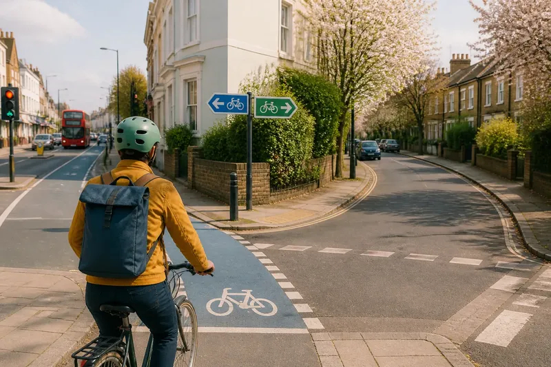
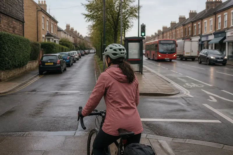
Imagine a person cycling along a painted strip that ends beside a bus stop. The starting point is a marked lane approaching a shelter, with people waiting in the paved area. The rider follows the strip until it ends, then checks for signs and looks for a clear continuation without cutting through the waiting space. If the path ahead is unclear, the observable result is a gap in the route’s guidance; the rider can slow and choose a lawful, considerate way through rather than assume the paint’s end indicates a shared path.
Follow how the street’s roles changed
Many streets were not laid out in one go according to a single plan. They grew from routes between homes, markets, workplaces and public buildings, then changed as transport, paving and local activity changed. A narrow lane widened, a footway was raised, a loading place was added, or a line of parking became part of the familiar street scene.
That layering matters because current layouts can preserve earlier decisions. A kerb may separate a pavement from the road, while newer paint assigns a narrow strip to cycling. A bus stop may interrupt that strip because it was fitted into a space already organised around other uses. The result can look tidy on a plan yet feel ambiguous at the point where users meet.
Do not assume that an older-looking surface tells you exactly how a street was once used. Materials can be replaced, and a change in level may serve drainage or access rather than mark a historic boundary. Treat the street as evidence of accumulated choices, not as a complete record of its past.
What can street boundaries and markings tell you?
Does a kerb always separate pedestrians from vehicles?
A kerb commonly marks the edge of a footway, but it does not explain every crossing or access point. Driveways, loading areas and raised crossings can interrupt that edge, so follow its form rather than assuming it is continuous.
What can paint tell me about a street?
Paint can identify a lane, crossing or stopping restriction, and it makes an intended arrangement easier to see. It does not provide the physical separation of a kerb or barrier, so notice what protects the marked space from traffic.
How can I tell whether a path is shared?
Look for signs and surface markings that identify who may use it, then check where the path begins and ends. A paved route beside a road is not automatically a shared path just because it looks wide enough for more than one person.
Why do street divisions often disappear at junctions?
Junctions bring turning traffic, crossings, bus movements and side streets into the same space. A layout may mark separate lanes along a block but provide less clear guidance where those movements meet.
Record what you see and decide what it means
On your next familiar walk or ride, choose one block and make a simple record. Note the surfaces, edges, signs and points where routes meet. A few words in your phone can help keep direct observations separate from your interpretation.
- Surface: Check where paving, asphalt or setts change. If the change aligns with a clear edge, record it as a possible boundary; if it does not, describe the materials without assigning a purpose.
- Boundary: Check whether a kerb, paint, posts or no visible edge separates the spaces. If the edge is physical, note where it begins and ends; if it is only marked or absent, look for signs and crossings before deciding how the spaces are assigned.
- Continuity: Follow the same space to a junction, crossing or stop. If its route remains legible, record where it continues; if it breaks or merges, mark the exact point and avoid assuming the earlier arrangement carries on.
- Obstructions: Check for furniture, parked vehicles or waiting areas that narrow a route. If they block or divert movement, note the affected space and the alternative passage; if they do not, record that the route remains clear.
- Signs: Check which users are named and where each instruction begins or ends. If a sign clearly identifies a path or restriction, use that information; if it is missing or unclear, do not infer permission from the paving alone.
- Crossings: Check whether people can cross at a marked or raised point and whether the route continues beyond it. If the crossing connects the spaces clearly, note that connection; if it does not, identify the gap rather than treating the boundary as continuous.
Say you are reading a neighbourhood road with a smooth paved strip beside it. Your invented starting inputs are a bus shelter, a painted cycle marking that stops beside the shelter, a paved route that continues past it, and a sign identifying the paved route for people walking. First, you record the surface and the point where the paint ends. Next, you follow the paved route and check the sign rather than guessing from its width. Then you note that the walking route continues but the cycle marking does not. The resulting account is that the street gives different guidance to people walking and cycling at the shelter; it does not establish why the design was chosen or what an unclear section permits.
Reading street space before the painted cycle lane means paying attention to kerbs, surfaces, signs and the moments when one arrangement gives way to another. The main search phrase, how street space was divided before painted cycle lanes, points to a useful habit: name the exact boundary or gap you observed, then distinguish it from what you can only infer.